XYCarto
Gallery
Blog
GitHub
Contact
Open Source Geospatial Development, Architecture, and Engineering
Projection Grid
Geospatial
GRASS GIS, Docker, Makefile
Geospatial
Basic COG in Openlayers: Single Band Tif
Geospatial
Warping Across Anti-meridian: NZTM to Web Mercator
cartography
·
Geospatial
Static Vector Tiles II: Openlayers with Custom Projection
Geospatial
RGB Elevation Creation for 3D Online Mapping (Terrain RGB)
Geospatial
Static Vector Tiles for Small Projects
cartography
·
Geospatial
Basic GRASS GIS with BASH, plus GDAL
Geospatial
Basic GRASS GIS with BASH
Geospatial
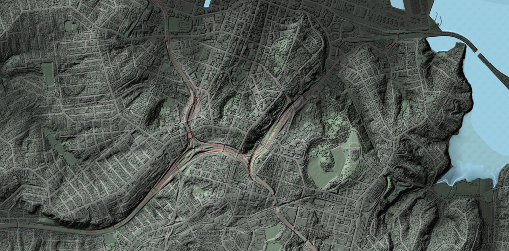
Wellington Elevations: Interpolating the Bathymetry
cartography
·
Geospatial
Building the Wellington Model with 1m DEM and DSM
cartography
·
Geospatial
The Rejects
cartography
Processing and Visualizing Auckland 1m DEM/DSM Elevation Data
cartography
·
Geospatial
Subscribe
Subscribed
XYCarto
Sign me up
Already have a WordPress.com account?
Log in now.
XYCarto
Edit Site
Subscribe
Subscribed
Sign up
Log in
Report this content
View site in Reader
Manage subscriptions
Collapse this bar